
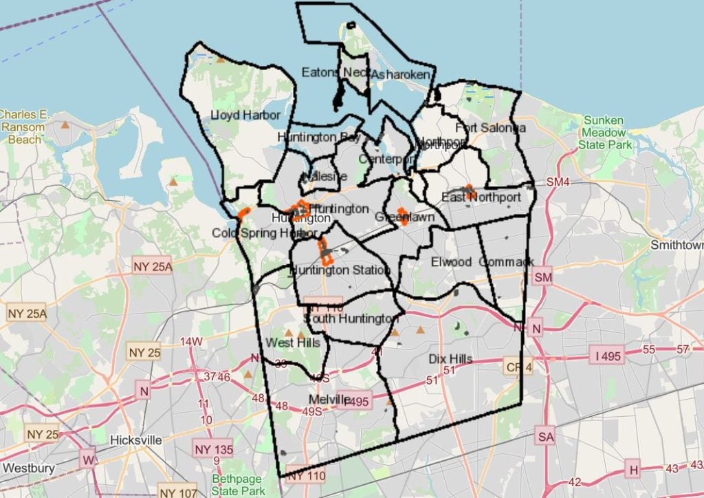
The Town of Huntington offers access to maps and data through its Geographic Information System.
The Land Management Division of the Planning and Environment Department provides access to records from the town’s land inventory. Free or subscription-based professional access is available.
GIS is system that creates, analyzes, manages and maps data in a geographical space connected to a map.
Users can zoom into a particular property and find such information as lot number, acreage, Suffolk County tax map identification, an overhead photo of the property, details such as whether there is an accessory apartment approved on the property and permit information, garbage pickup days and name of carter, and much more.
This post is part of a series about how to get things done or that you might want to know about in the Town of Huntington. Details are from the Town of Huntington website.