
Update: Because of the forecast, the Town of Huntington postponed plans for an inauguration of town officials, who took office last week. No new date has been scheduled yet.
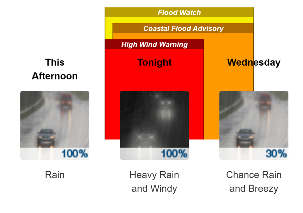
The National Weather Service said a major storm system is expected late Tuesday, continuing into Wednesday, and could bring” flooding rainfall, strong to damaging winds, moderate to locally major coastal flooding, and major shoreline impacts.” That means winds of 25 to 35 mph with gusts up to 50 mph.
Suffolk County Executive Ed Romaine issued a state of emergency Monday for the incoming storm..
“I am issuing a State of Emergency for Suffolk County to ensure our residents are best prepared for the incoming severe weather,” Romaine said. “While the height of the storm is anticipated to impact the County during the evening and overnight hours, I strongly advise our residents to avoid travel as heavy rainfall, strong wind gusts and potential flooding are all possible.”
PSEG-LI said Monday that the storm could bring rainfalls of more than 2 inches in certain areas, along with peak wind gusts of 60-75 mph across the service area, meaning it could potentially topple trees, bring down branches on wires and cause outages.”
Rain of one to two inches will add to the ground already saturated by this weekend’s precipitation.
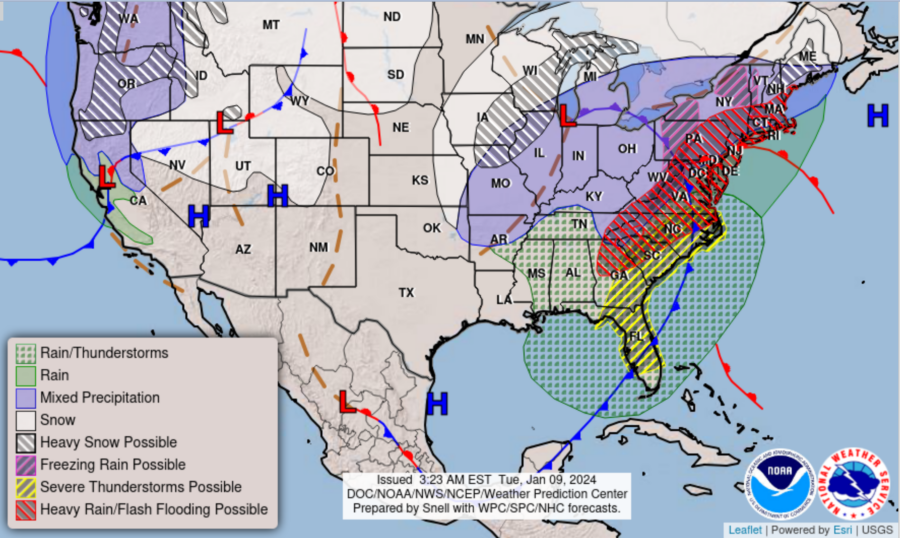
The rain and wind forecast for this area are part of a broader winter storm hitting around the country.
Contact numbers:
Visit PSEG Long Island at:
- psegliny.com
- PSEG Long Island on Facebook
- PSEG Long Island on Instagram
- PSEG Long Island on X (formerly Twitter)
- PSEG Long Island on LinkedIn
- PSEG Long Island on YouTube
- PSEG Long Island on Flickr
Town of Huntington’s emergency preparation plan